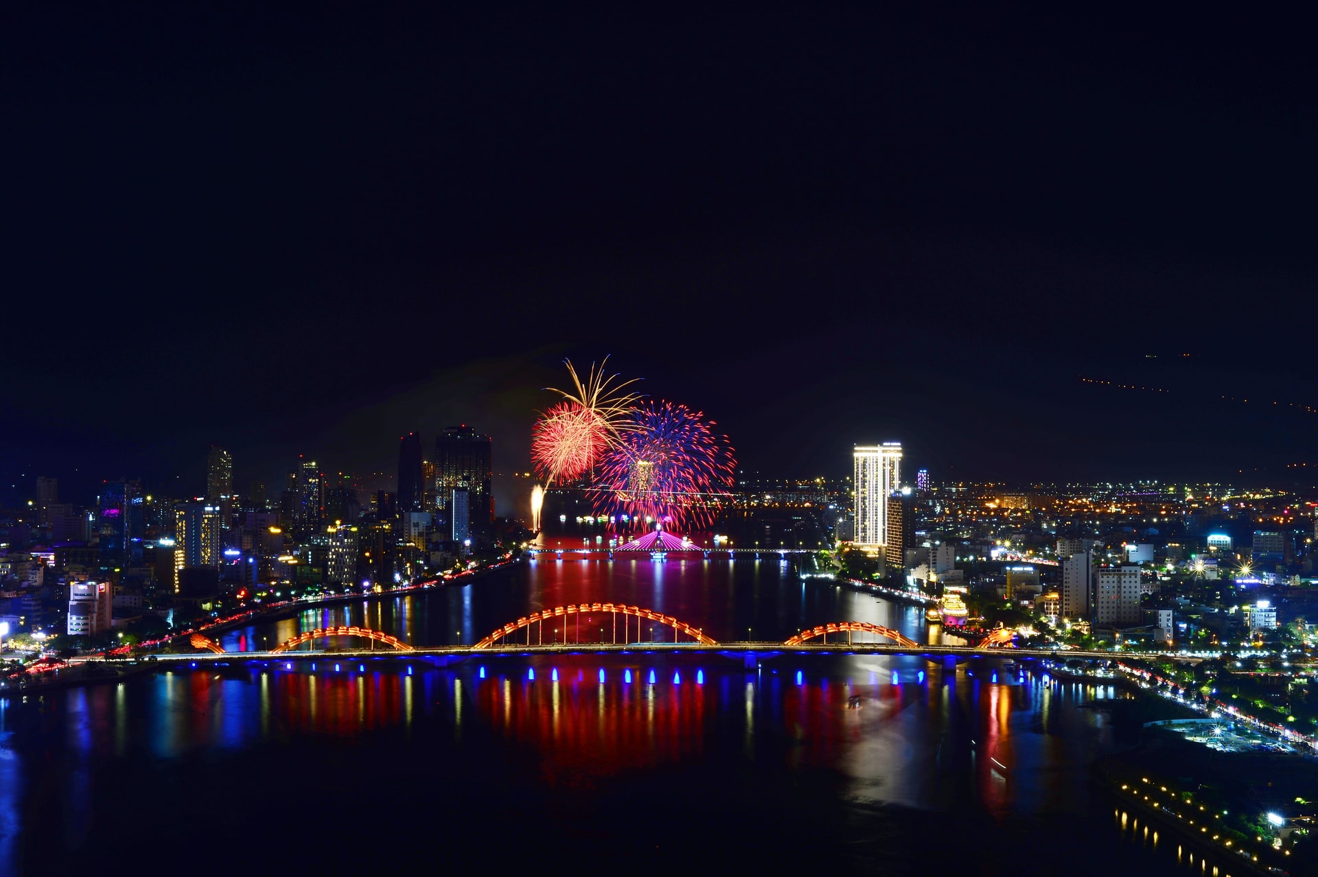
DNO - More than five decades of liberation on March 29, 1975, the coastal city of Da Nang has developed into a modern and dynamic urban center with a rapidly growing urban landscape, attracting visitors from around the world.
In particular, since July 1, 2025, following an administrative merger, Da Nang has expanded its urban space, creating greater capacity and new opportunities for stronger development in the years ahead.
Da Nang Newspaper and Radio, Television respectfully present to readers a photo series highlighting the city's urban transformation today.
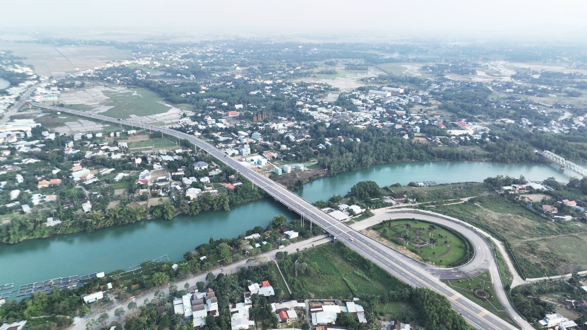
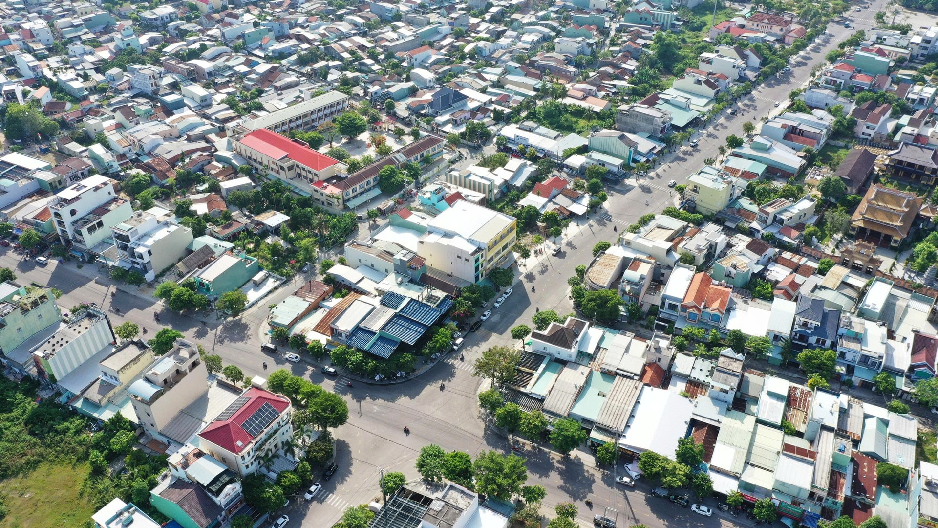
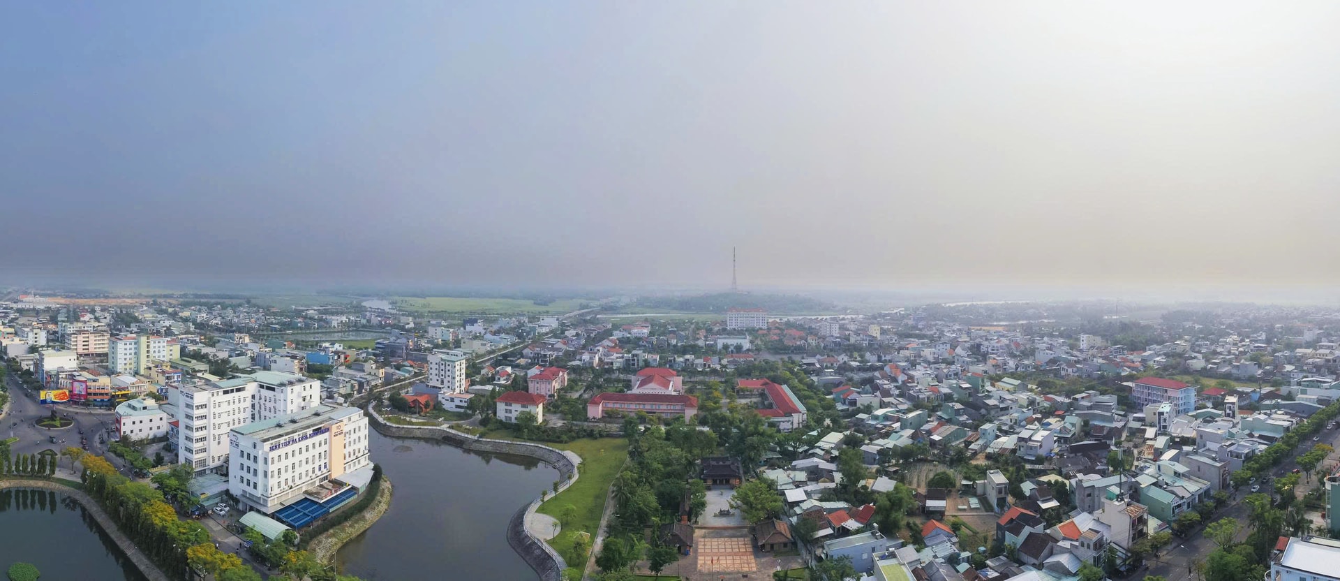
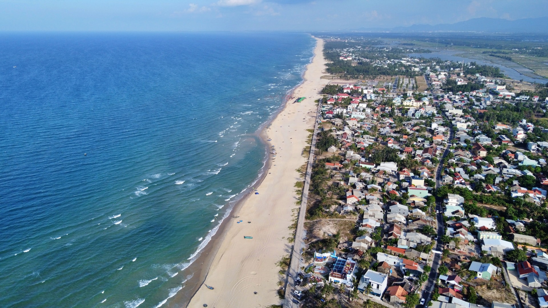
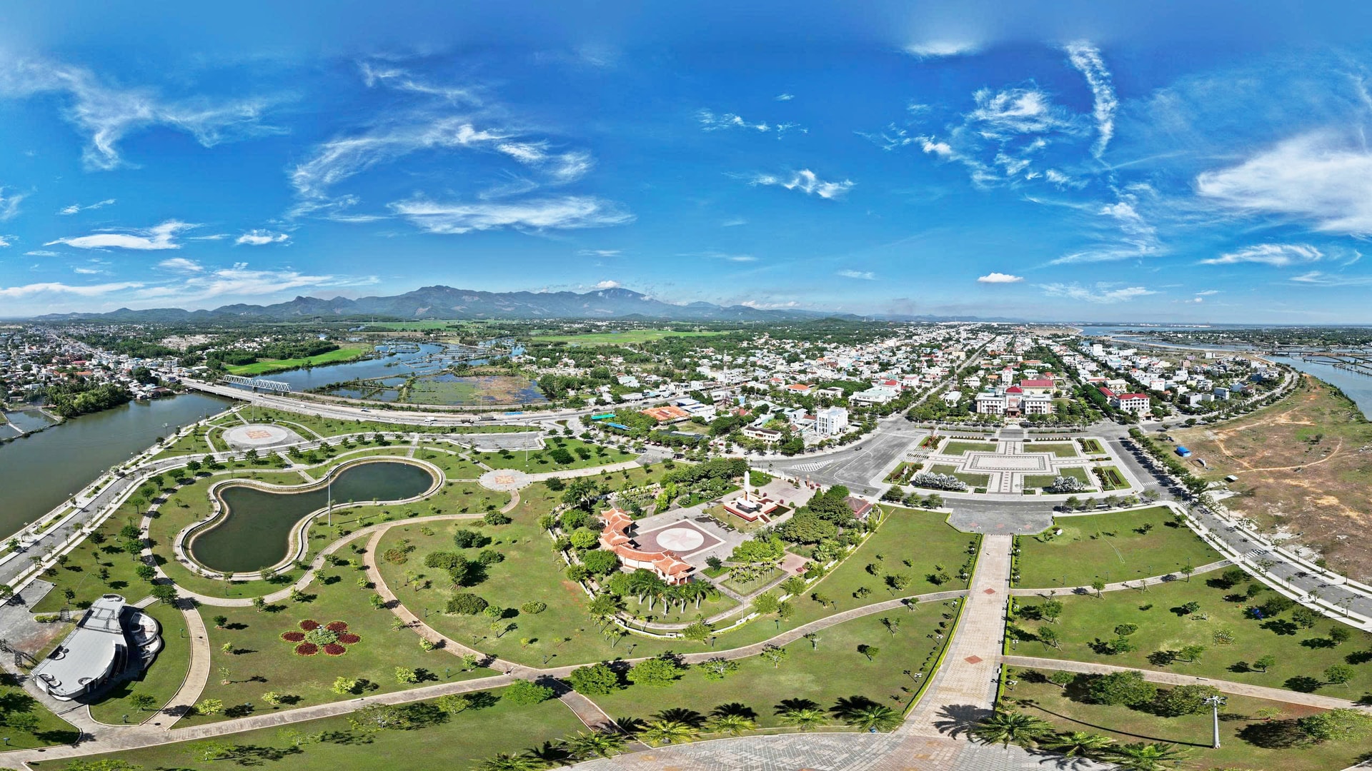
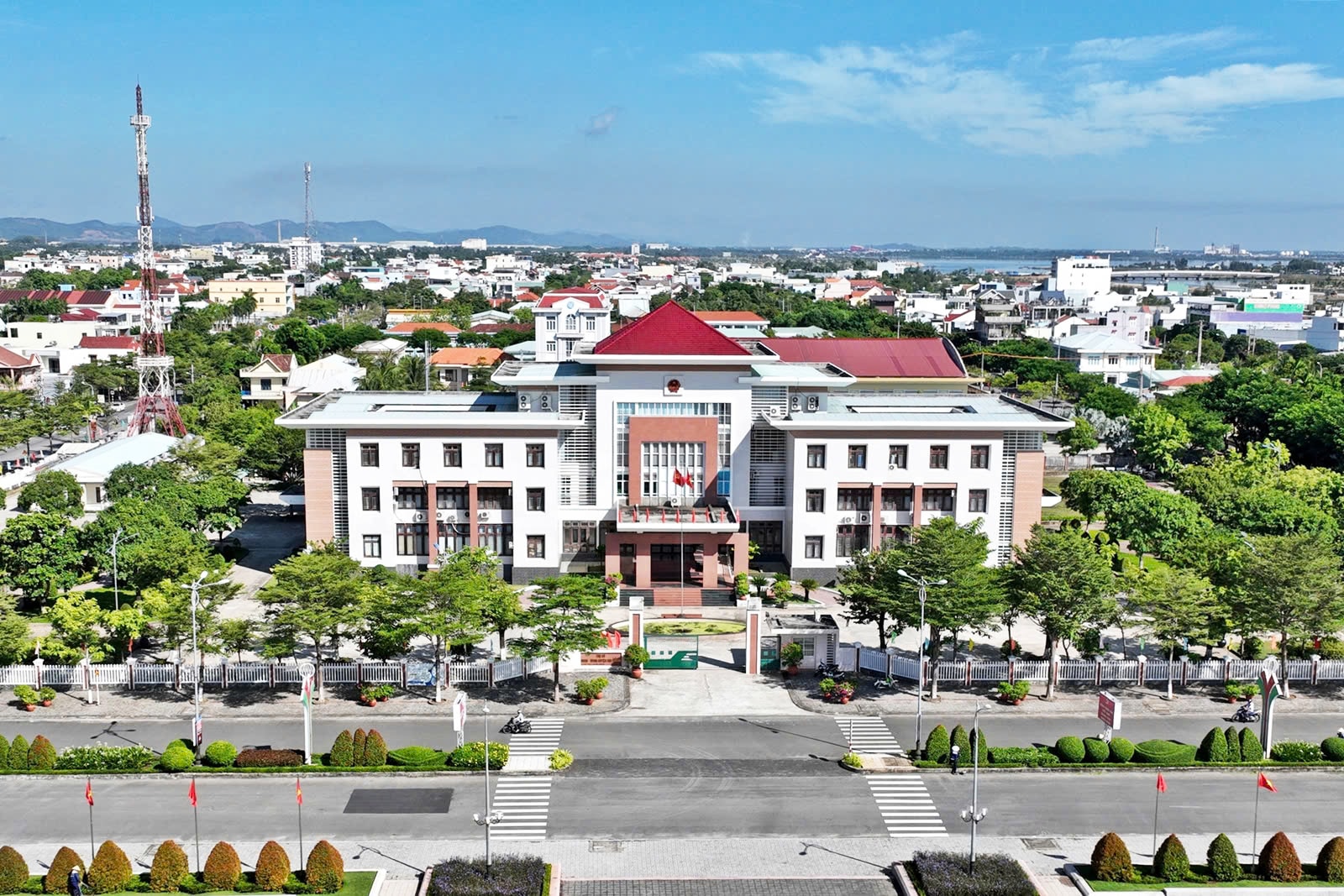
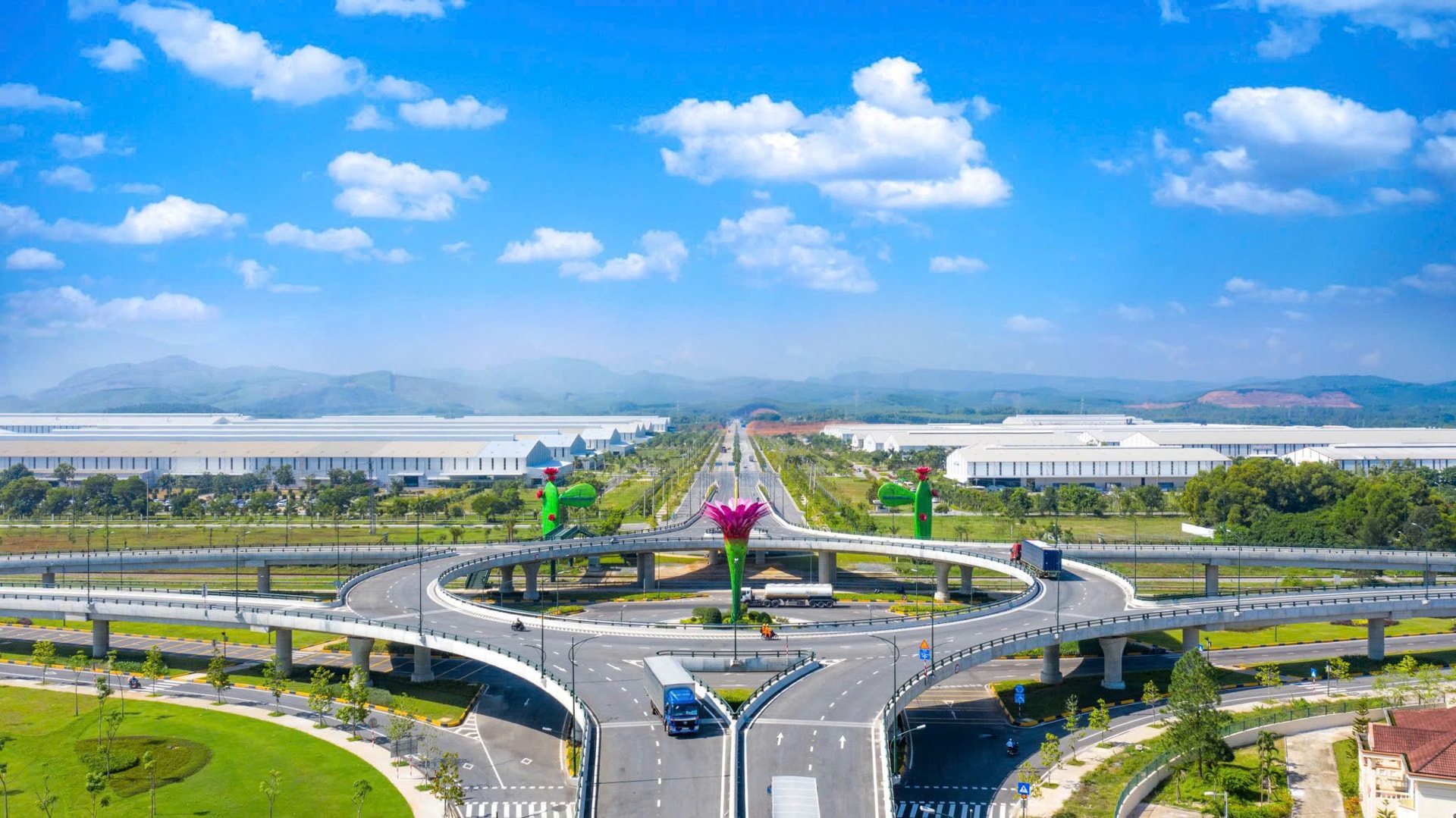
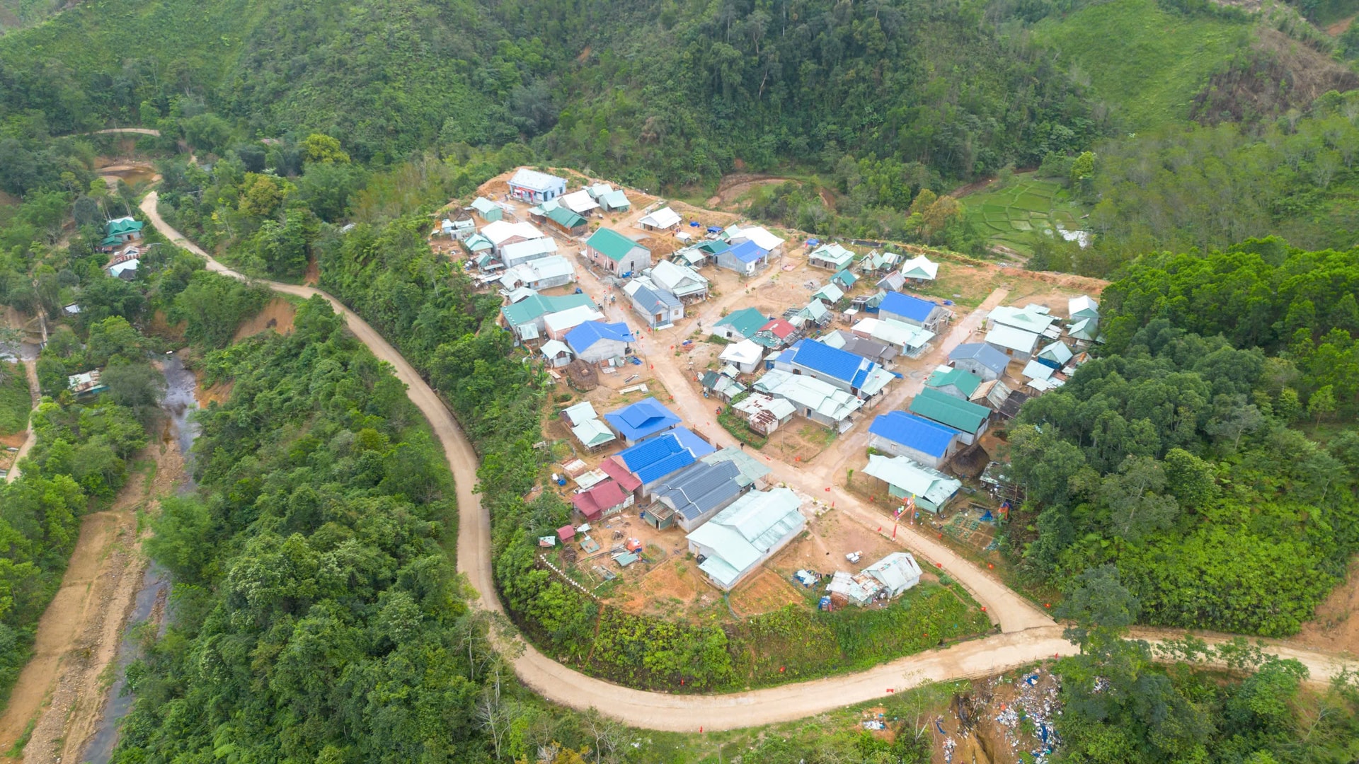
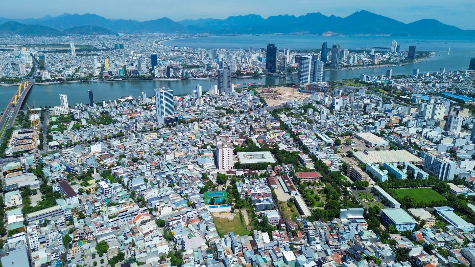
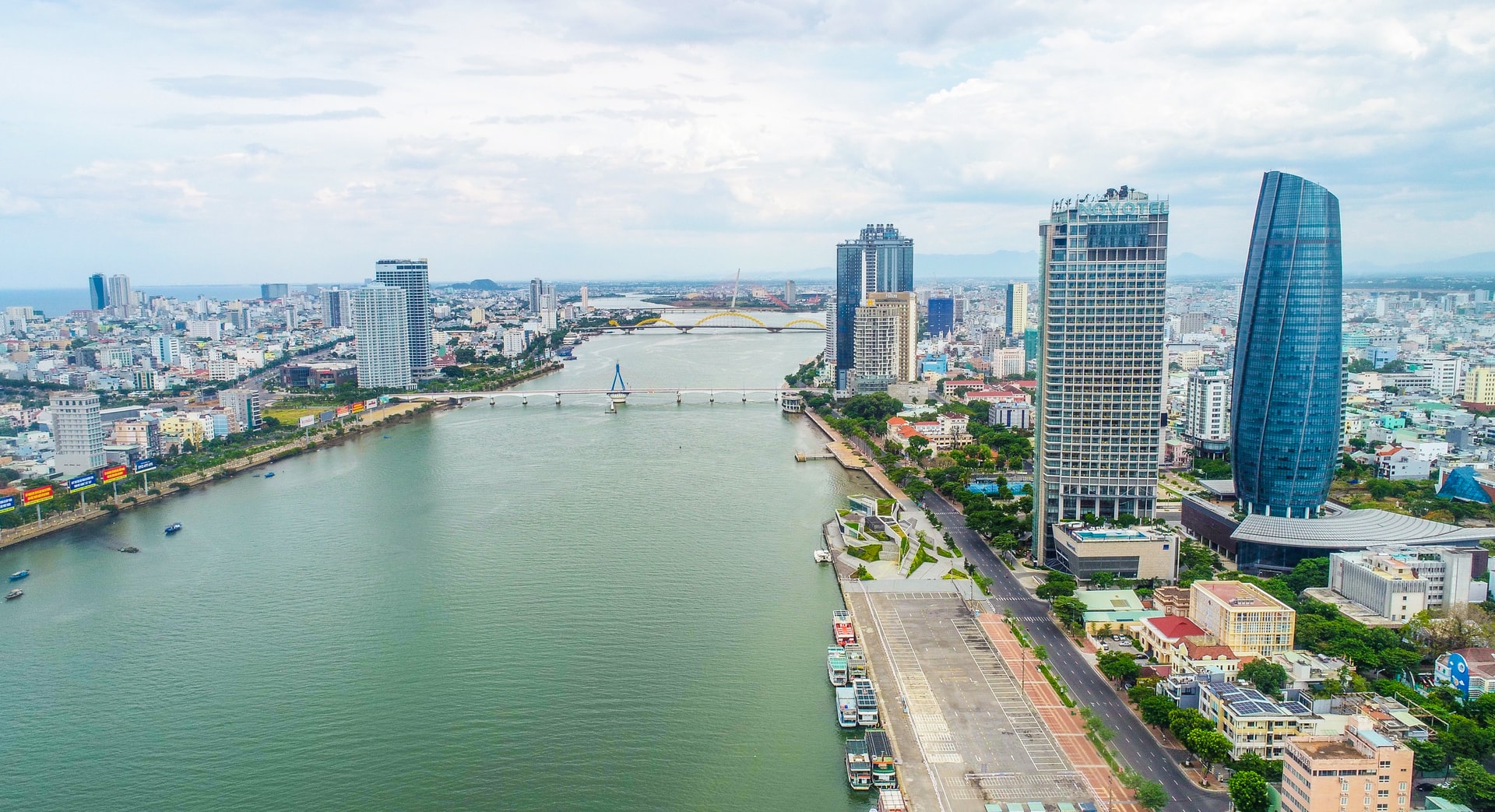
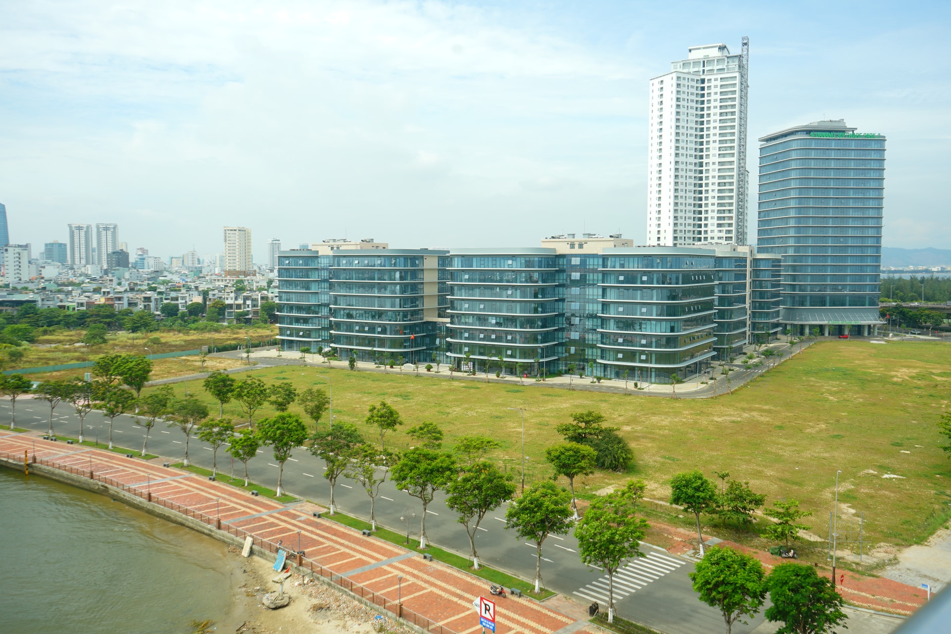
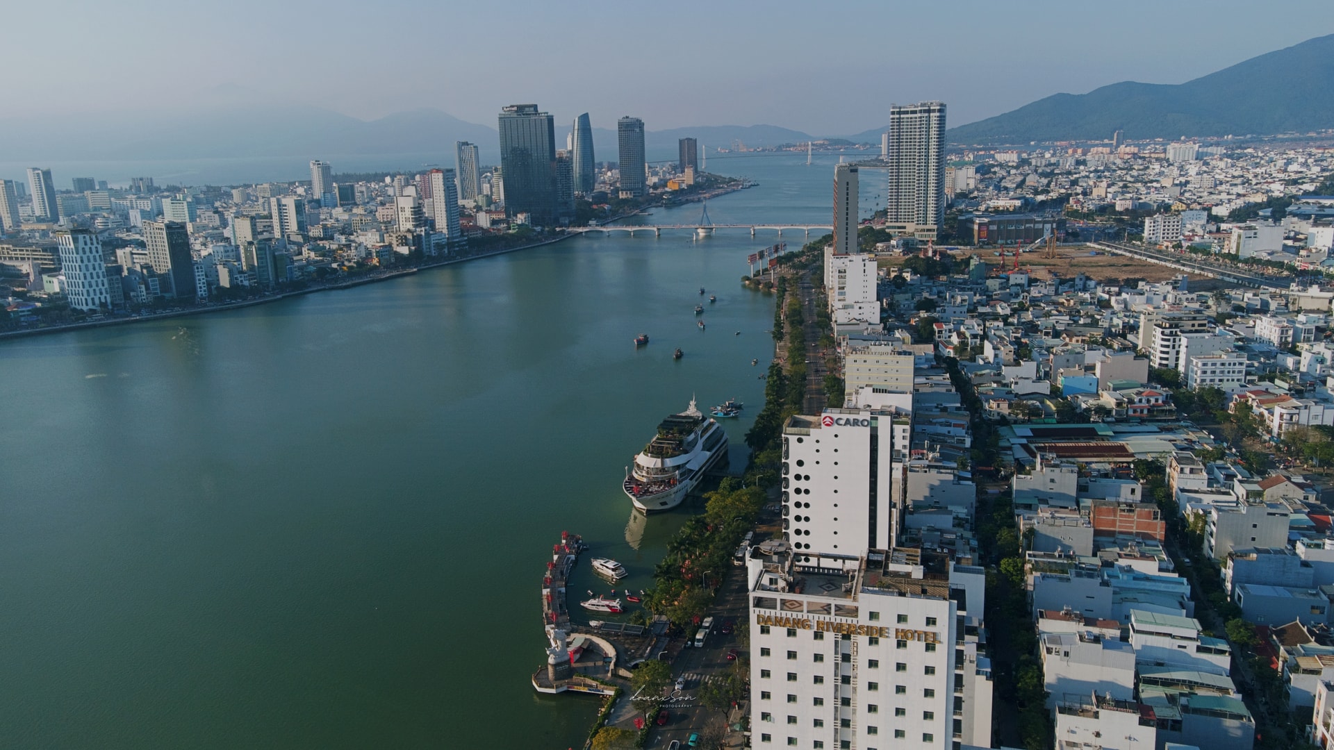
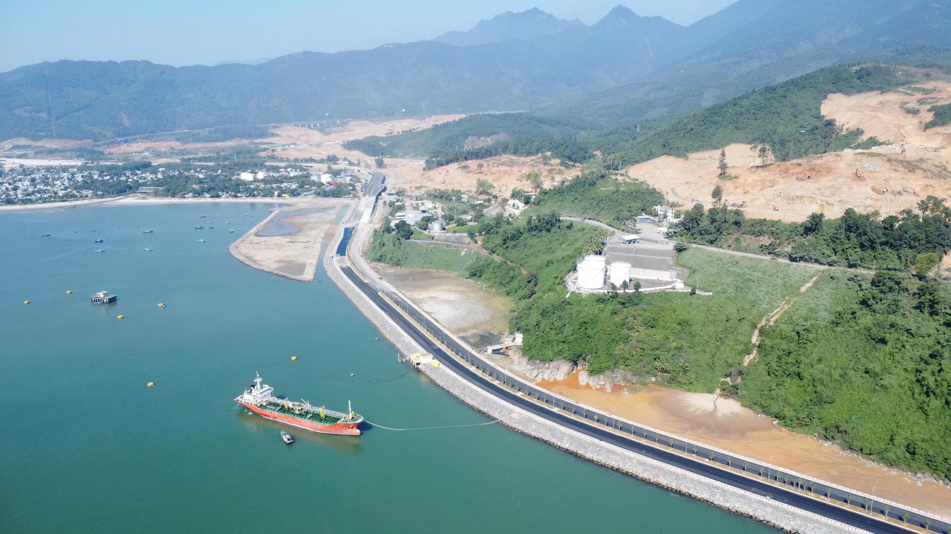
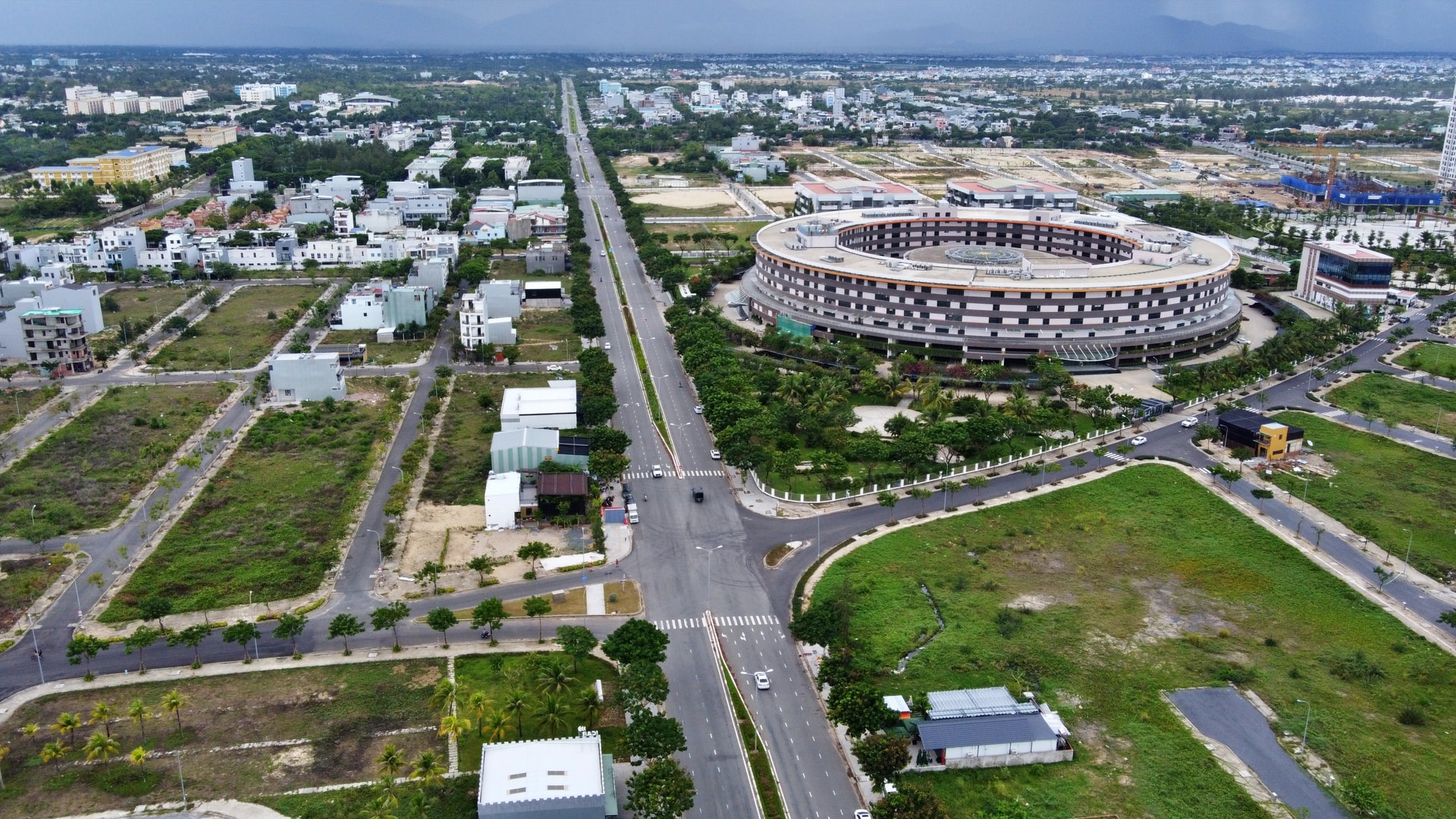
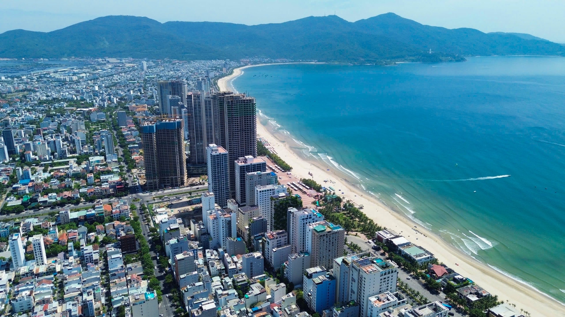
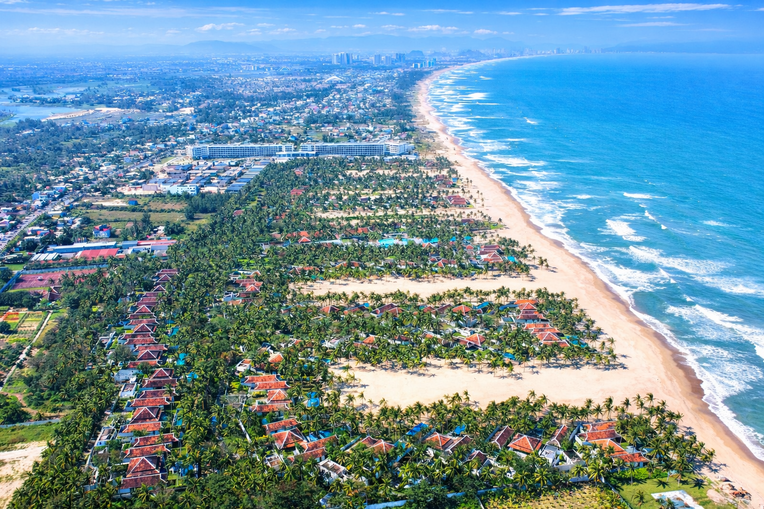
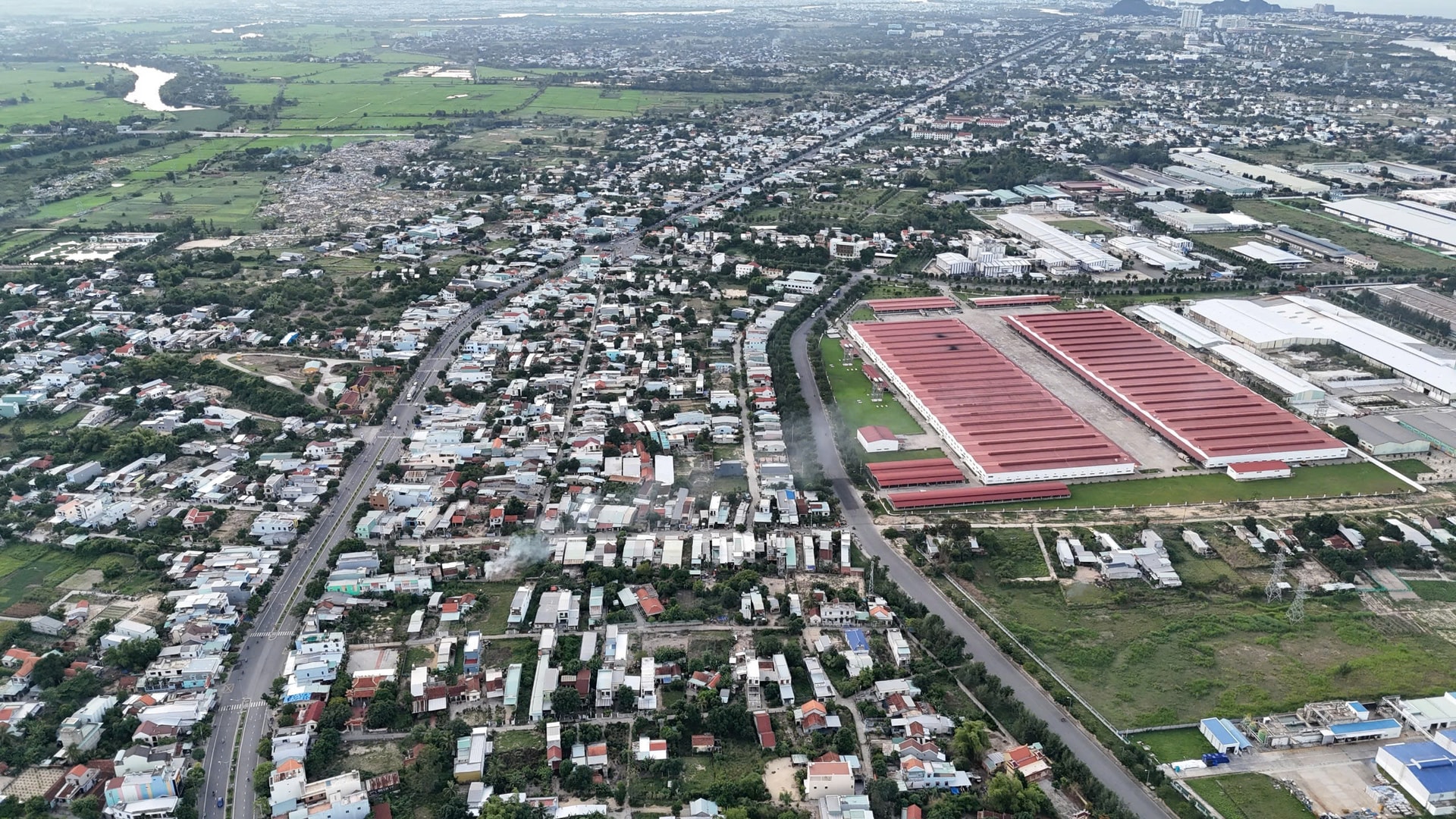
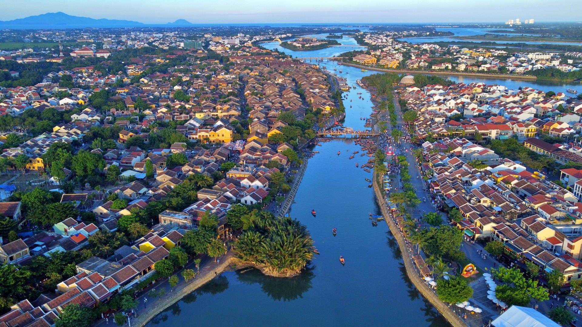
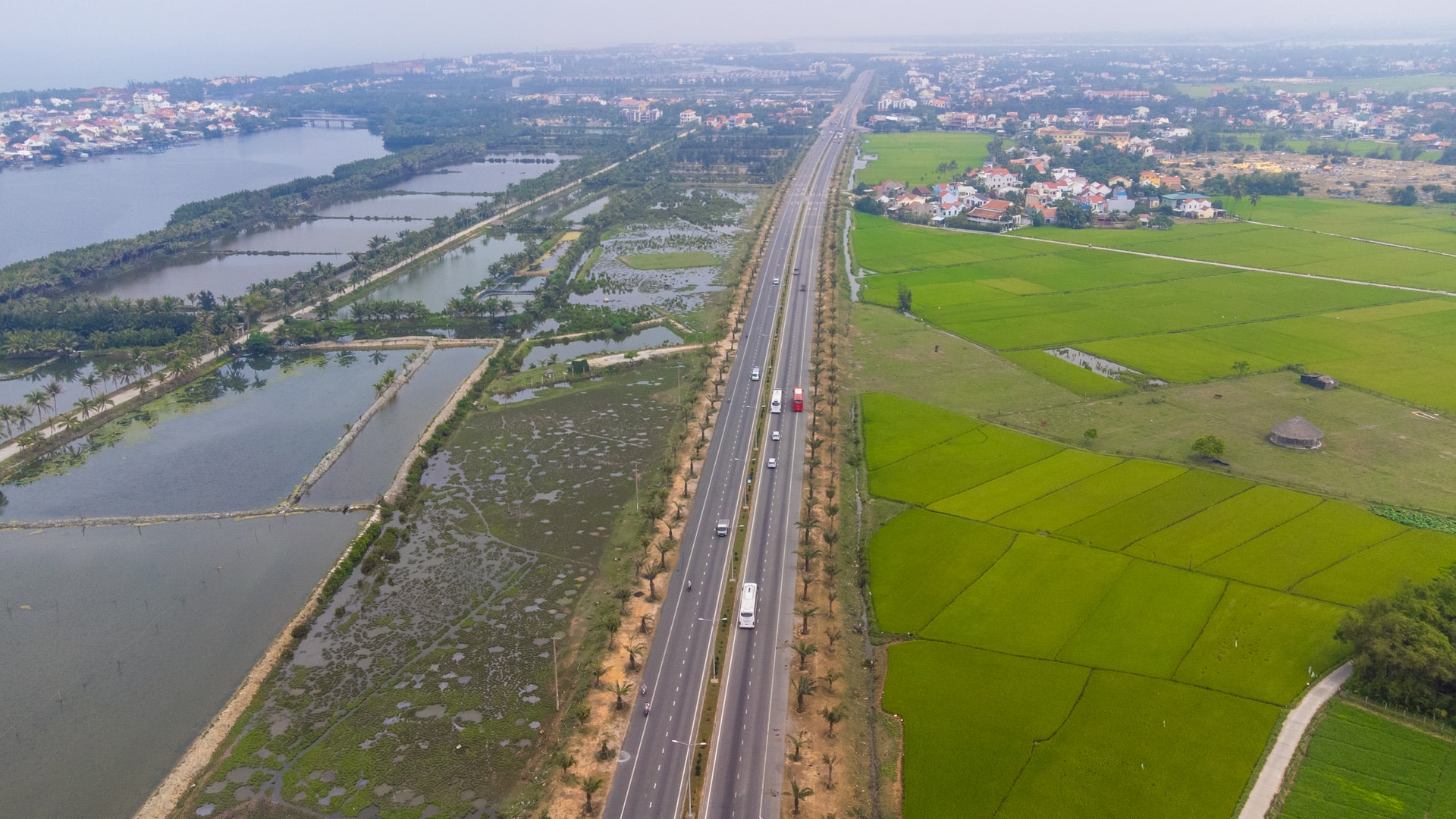
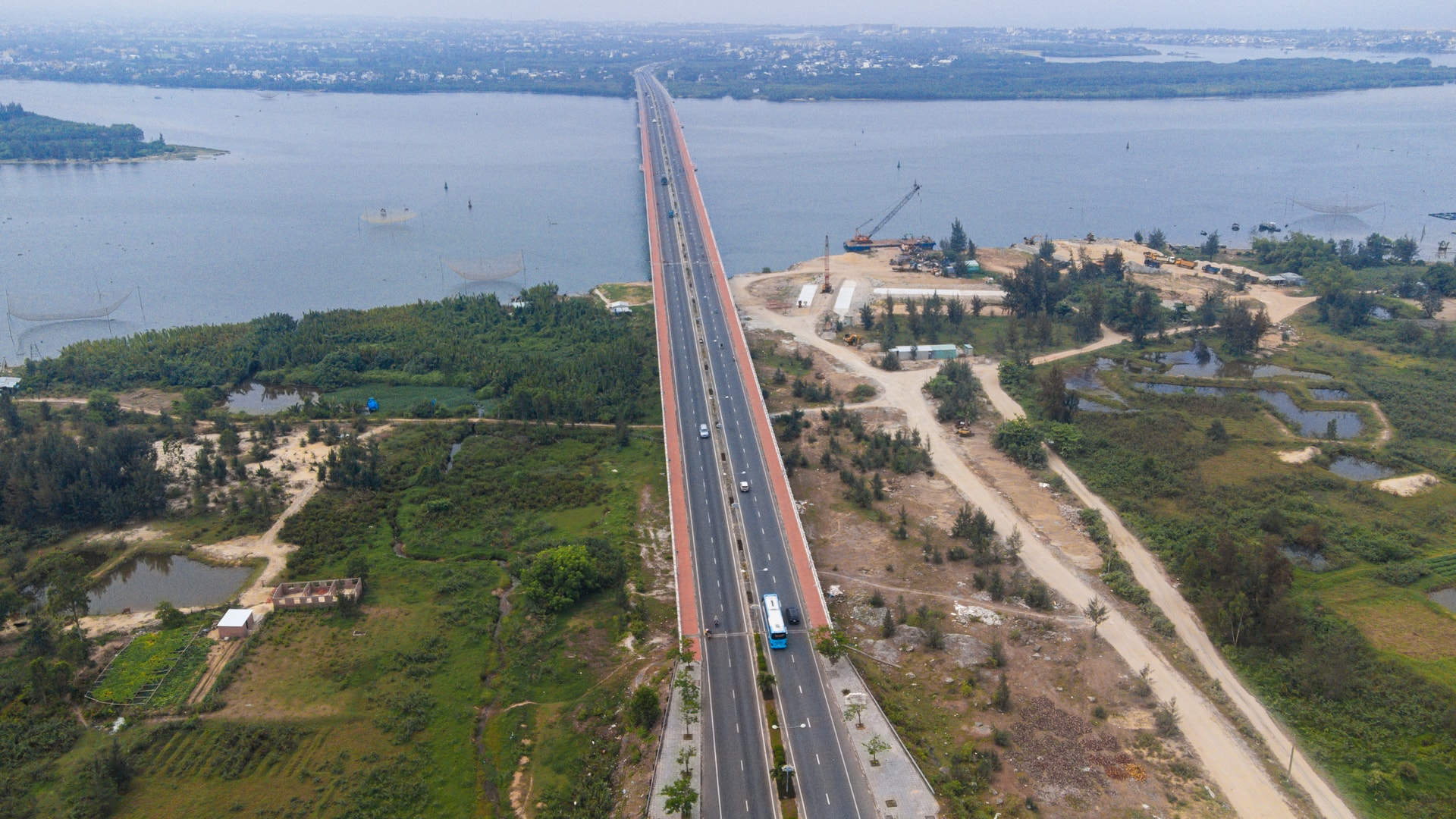
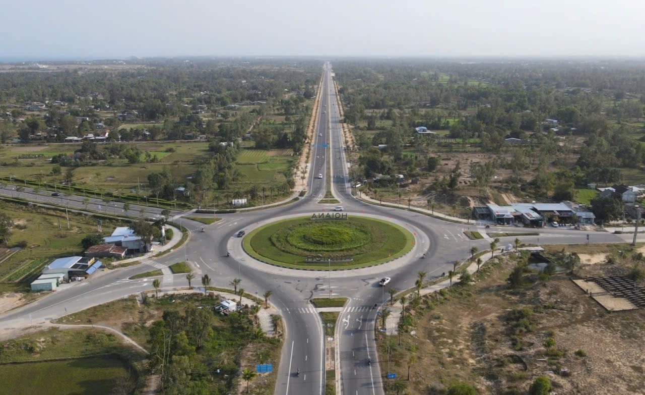
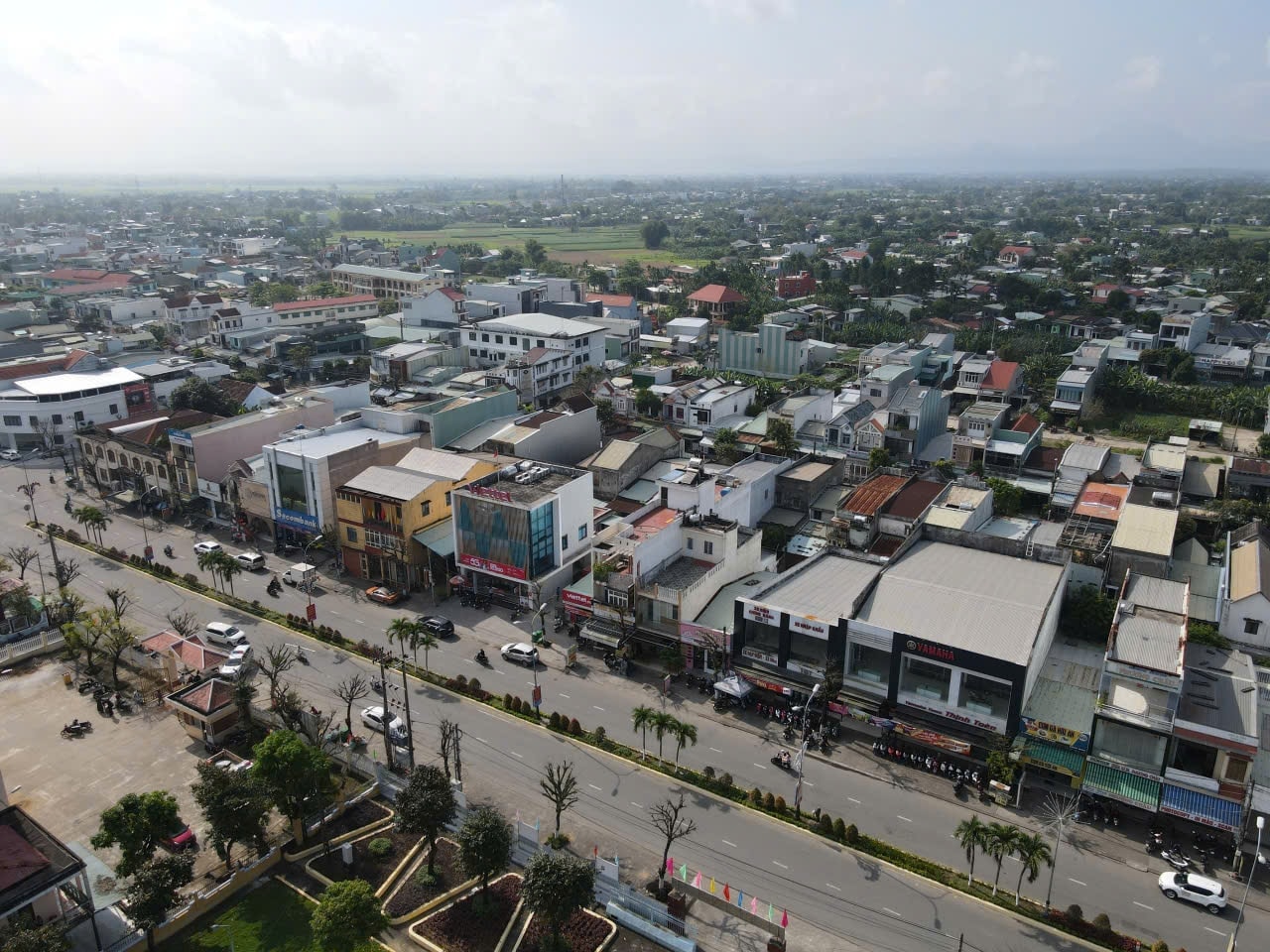
Da Nang's central urban area features modern, well-planned, and synchronized infrastructure. Photo: XUAN SONHighlights of the city center include iconic bridges spanning the Han River, such as Han River Bridge, Dragon Bridge and Tran Thi Ly Bridge. Photo: XUAN SONThe Da Nang Software Park No. 2 in Hai Chau Ward will house the operating headquarters of the Vietnam International Financial Center in Da Nang. Photo: XUAN SONThe eastern bank of the Han River, stretching across Son Tra and An Hai wards, has transformed from former stilt-house settlements into one of the city’s key economic and tourism areas. Photo: XUAN SONThe Lien Chieu Port project in Hai Van Ward is expected to play a key role in boosting Da Nang’s logistics sector and overall socio-economic development, and positioning the city as a core urban hub and growth pole of the Central Key Economic Region. Photo: XUAN SONFPT City Da Nang technology urban area in Ngu Hanh Son Ward. Photo: XUAN SONDa Nang's coastal urban space features beautiful beaches such as My Khe, Man Thai, and Non Nuoc, along with the Son Tra Peninsula. Photo: XUAN SONFollowing the merger, Da Nang’s coastline now stretches more than 215 kilometers. Pictured is the coastal area of Dien Ban Dong Ward, home to numerous accommodation facilities and tourist destinations. Photo: QUOC TUANThe urban area of Dien Ban Dong Ward is home to several industrial parks and industrial clusters. Photo: QUOC TUANHoi An Ancient Town, now part of Hoi An, Hoi An Dong and Hoi An Tay wards, is planned with a focus on preserving its cultural heritage space while developing green and community-based tourism. Photo: XUAN SONThe Hoang Sa - Vo Nguyen Giap - Vo Chi Cong coastal route forms a continuous coastal corridor linking central Da Nang with the eastern key economic zone, the Chu Lai Open Economic Zone and Chu Lai International Airport. Pictured is Vo Chi Cong Street passing through Hoi An Dong Ward. Photo: XUAN SONLocated on Vo Chi Cong Street, Cua Dai Bridge spans the Thu Bon River. Inaugurated in 2016, the bridge connects the former areas of Hoi An, Duy Xuyen and Thang Binh, serving as a key driver for socio-economic development in eastern Quang Nam. Photo: XUAN SONThe center of Duy Nghia Commune. Photo: HO QUANThe urban landscape of central Dai Loc Commune. Photo: HO QUANA corner of the southern urban area in Ban Thach and Tam Ky wards. Photo: THANH CONGHung Vuong Roundabout in Huong Tra Ward. Photo: PHAN VINHAn aerial view of the urban landscape in Tam Ky Ward. Photo: PHAN VINHAn overview of the southern urban area covering Ban Thach, Tam Ky, Huong Tra and Quang Phu wards. Photo: PHAN VINHTam Thanh Beach area in Quang Phu Ward, a distinctive tourist destination in the southern part of the city. Photo: XUAN SONAn overview of the urban area of Nui Thanh Commune. Photo: HOANG DAOThe administrative center of Nui Thanh Commune. Photo: HOANG DAOThe Chu Lai Open Economic Zone is being developed under the city’s strategy linked to key projects in the southeastern area. Photo: PVThe city is working to overcome challenges and invest in infrastructure for highland areas. Pictured is a corner of A Vuong Commune. Photo: X.SFifty-one years after liberation (March 29, 1975 - March 29, 2026), Da Nang's urban landscape has undergone a remarkable transformation, developing in tandem with the nation. Photo: XUAN SON

.jpg)