


Gửi bình luận
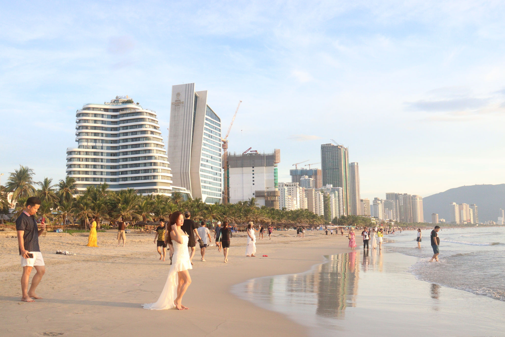
DNO - Da Nang Master Plan through 2050, with a vision to 2075, sets out a long-term strategy to build the city into a modern, smart and distinctive ecological coastal city, as well as strengthens its position as a major economic center of Vietnam and Southeast Asia.
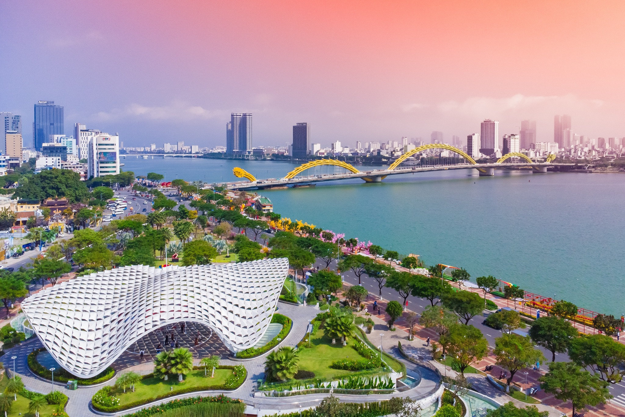
Da Nang Master Plan outlines a more balanced economic structure, strategic infrastructure investment and a multi-polar urban development model to unlock the city’s growth potential.
Da Nang Master Plan identifies tourism, commerce, finance, high technology, logistics, industry and agriculture as key pillars of Da Nang’s future development.
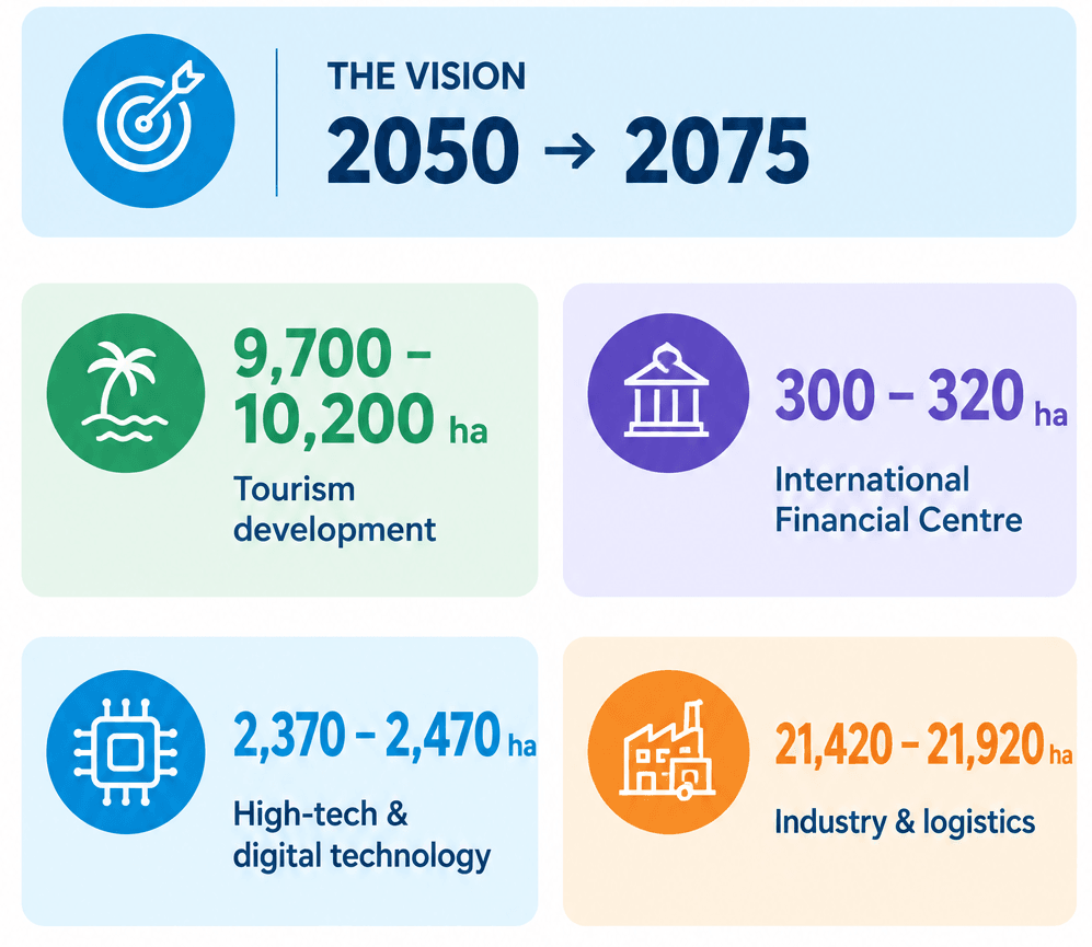
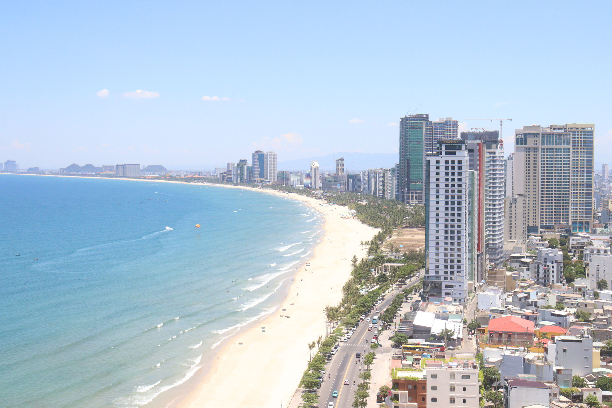
Tourism will be developed across the city, covering coastal and inland waterway tourism, ecotourism, community-based experiences, resorts, cultural and historical attractions, and spiritual tourism. Land allocated for tourism is estimated at 9,700 - 10,200 hectares.
The city also plans to develop national- and international-scale commercial centers, an international exhibition centre, commercial and financial streets, and the Da Nang Free Trade Zone linked to major transport hubs.
A 13-hectare wholesale agricultural market and logistics centre is planned in Thang Binh Commune to serve Central Vietnam and Central Highlands regions.
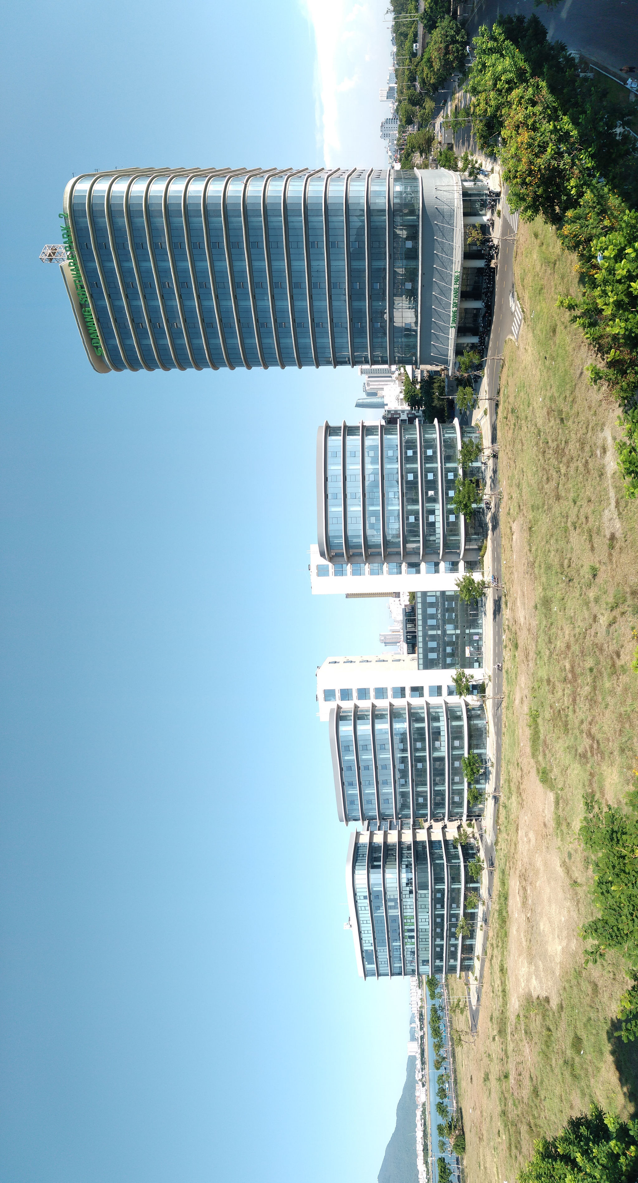
The Vietnam International Financial Centre in Da Nang will be developed alongside an innovation and digital technology ecosystem, covering approximately 300 - 320 hectares.
High-tech industries and digital technology are expected to occupy around 2,370 - 2,470 hectares, with an innovation cluster planned in the southern part of the city, linked to an urban research and education area.
Industrial and logistics facilities are projected to cover 21,420 - 21,920 hectares.
Agriculture will cover approximately 167,572 - 169,772 hectares of production land, including concentrated farming areas and high-tech agricultural zones in western communes.
Forestry land is projected at 763,742 - 764,742 hectares, mainly in the western mountainous areas and Son Tra Peninsula.
Implementation will be divided into four phases: 2026 - 2030, 2030 - 2040, 2040 - 2050 and beyond 2050.
During 2026 - 2030, priorities include completing urban and rural plans, technical infrastructure plans, underground space planning, urban development programs and architectural management regulations. These will provide the framework for coordinated implementation.
The city will prioritize transport connectivity and strategic infrastructure, alongside major projects such as the Da Nang Free Trade Zone, the Vietnam International Financial Center in Da Nang and coastal reclamation urban developments.
Public transport investment will include urban rail systems, such as metro or light rail, high-speed rail (HSR) and transit-oriented development (TOD) urban areas.
To strengthen international trade and logistics, the plan prioritizes port terminals, logistics facilities and port services at Lien Chieu Port, as well as the expansion and upgrading of Chu Lai International Airport in connection with an air logistics hub.
Technical infrastructure for the Da Nang Free Trade Zone will also be developed. Other priorities include infrastructure for the international financial center and concentrated financial district, coastal reclamation urban areas, and strategic transport links along the East - West Economic Corridor.
Planned road improvements include National Highways 14B, 14D and 14E, together with connections to international border gates.
Investment in implementing the master plan across Da Nang is projected to exceed VND 710 trillion in 2026 - 2030, including approximately VND 160 trillion in public investment.
The master plan envisions Da Nang as a multi-polar, multi-centered urban network organized around three development zones, three growth poles, two north - south axes and four east-west corridors.
The northern growth pole will encompass existing and expanded Da Nang, Dien Ban and Hoi An urban areas, as well as coastal reclamation developments.
The southern pole will center on Chu Lai, Tam Ky and Nui Thanh, while the southern Hoi An linkage pole will connect Duy Xuyen, Thang Binh and Que Son. The two north-south axes will run along the eastern and western parts of the city.
The eastern axis will integrate National Highway 1, the north-south expressway, railway lines, coastal roads, high-speed urban roads and urban rail.
The western axis will follow the Eastern Truong Son Road, Ho Chi Minh Road and a new western road. Four east-west corridors will connect inland areas with the coast and regional transport networks.
By 2050, Da Nang aims to become an internationally attractive, safe and liveable ecological coastal city and a major national growth pole.
By 2075, the vision is to establish a globally connected, modern and smart coastal city among Asia’s leading urban centers with a distinctive identity, progressively meeting the criteria for a special-class city.