

The sacred spatial axis in Champa’s geo-cultural landscape
DNO - The mountainous forests west of Quang land feature an ancient geological structure formed from some of Vietnam’s last marine sediments, with tectonic movements folding layers of shale, sandstone and conglomerate into east-west mountain ranges.
.jpg)
The terrain has two levels: mountains above 1,000 metres along the Vietnam-Laos border and lower ranges extending towards the plains, forming prominent landscapes such as Bach Ma-Hai Van, Son Tra, Ba Na and Hon Tau-Hon Den.
Sacred mountains and the sanctuary
The My Son Valley forms an enclosed basin surrounded by the Hon Tau-Hon Den and Duong Thong ranges, with An Son, the highest peak at around 950 metres, overlooking the Quang Nam plains and Da Nang’s coast.
Hon Den, also known as Rang Meo (a cat’s tooth) Mountain and the sacred Mahaparvata, holds particular significance in Champa beliefs and the sacred landscape of My Son. Scholars suggest viewing the mountain as a Lingaparvata, or Linga Mountain, in Hindu belief.
In this symbolic landscape, the My Son Valley represents the Yoni, while Khe The Stream serves as a channel linking feminine and masculine elements. This combination of natural topography and religious symbolism helped establish My Son as one of Champa’s most important religious centres.
From the sanctuary to the sea
Although secluded in a valley, My Son was closely connected to Champa’s political, economic and maritime networks. Along the Thu Bon River, a spatial axis linked the sacred mountain and My Son Sanctuary with Tra Kieu (Simhapura), the agricultural plains, Hoi An (Champapura), and the Cham Islands.
About 10 kilometres east of My Son, Tra Kieu served as a political and economic centre surrounded by fertile farmland.
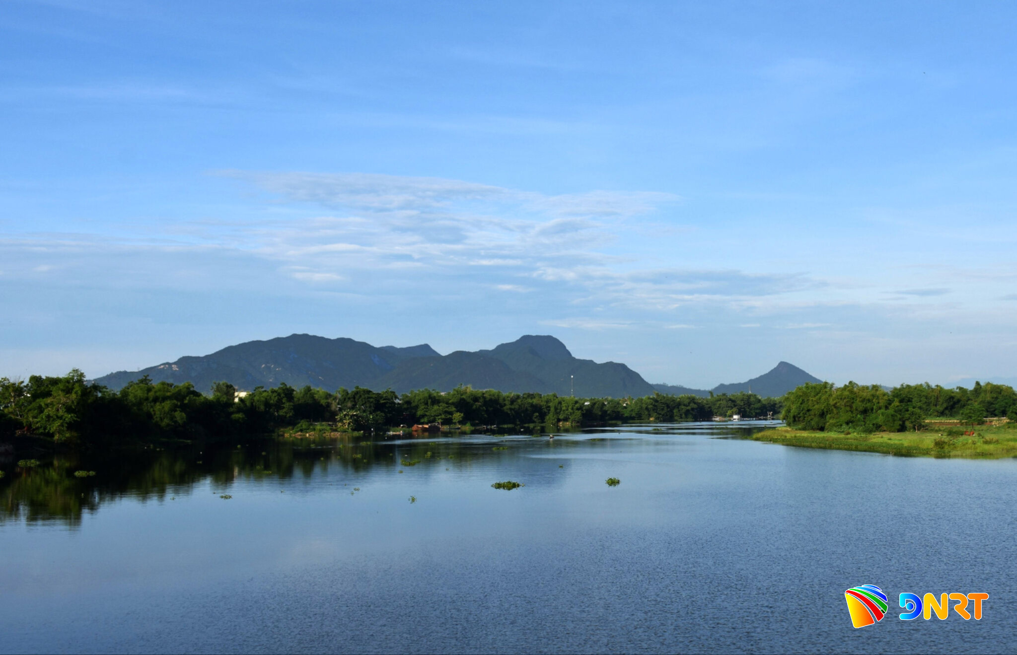
Alongside rice cultivation, the Cham produced silk and other valuable goods for trade. Farther downstream, Hoi An developed into an important international port connecting Champa with wider Asian maritime networks.
Agricultural and forest products, including agarwood, cinnamon and pepper, were transported downstream for trade, while Cu Lao Cham served as an outer harbour and strategic maritime point.
Another axis extended northeast from My Son towards Son Tra through the Vinh Dien-Cam Le river system. Along this route were agricultural plains and religious sites such as Bang An, Phong Le and the Marble Mountains, which also occupied an important position between the hinterland and the sea.
Son Tra, together with the Bach Ma-Hai Van range, helped create a sheltered maritime area around Da Nang Bay.
At the centre of this landscape stood Hon Den-Mahaparvata, a sacred mountain from which spatial connections extended towards sanctuaries, political centres, production areas and the coast.
By building on the region’s natural geography, the ancient Cham created an integrated territorial system linking mountains, rivers, plains and islands.
This combination of sacred space, political power, agricultural production and maritime trade supported Champa’s development and left a distinctive geo-cultural legacy across the Quang Nam-Da Nang region.