
Gửi bình luận
DNO - Da Nang has been enhancing the application of digital technologies and data systems to effectively improve disaster response capacity, particularly in addressing localized flooding.
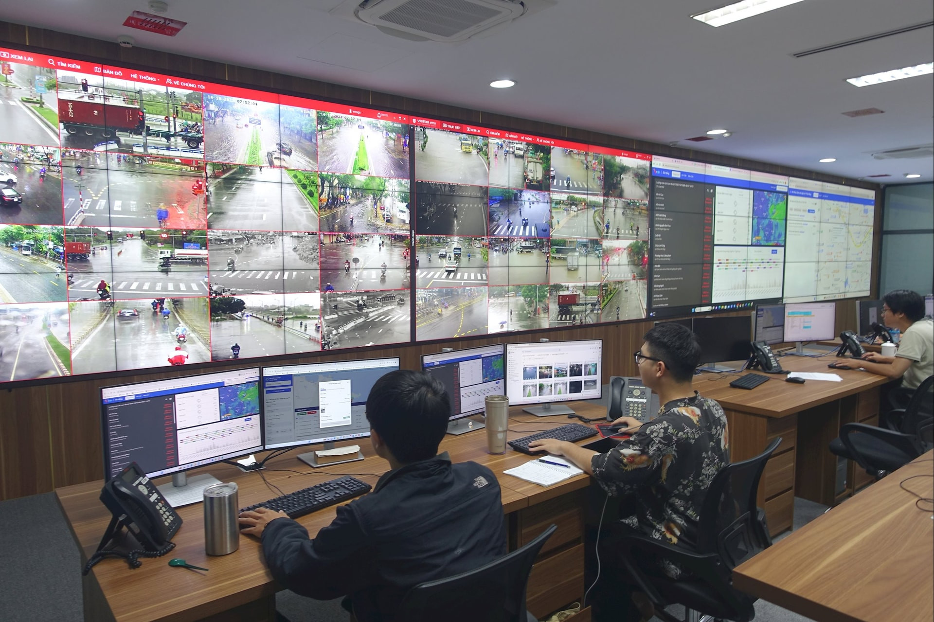
The Da Nang Intelligent Operations Center (IOC) has integrated data from 81 rain gauge stations, 8 water level gauge stations, 22 automatic flood warning towers, 56 waterlogging alert towers and one radio station that issues warnings about potential landslides triggered by excessive rainfall.
At the same time, a digital map of flooding has been developed within the Da Nang Smart City application. This map displays historical flooding sites, concentrated evacuation locations, emergency rescue phone numbers, and interactive features that allow residents to report flooding incidents and provide real-time feedback.
It is not only effective in supporting decision-making for municipal authorities and disaster management agencies but also contributes to warning and supporting the community to prevent and respond to disasters, especially localized flooding in urban areas.
According to MSc. Nguyen Vinh Long, a representative from the city's IOC, the “Disaster Prevention and Mitigation” section within the Da Nang Smart City app enables users to monitor rainfall levels at rain gauge stations, and flood levels at flooded points, all reported by authorities and the community.
Residents can also send information about flood levels at flooded points to warn others, as well as emergency rescue requests and access hotlines.
Additionally, they can retrieve detailed information about nearby evacuation centers, including addresses, structural details, and capacity, as well as get directions to the nearest safe location. The app also updates areas affected by or at risk of landslides and other hazards in real time.
Da Nang is developing the Green and Smart Urban Resilience Control and Integration Center (Ensure Center), which is expected to be completed in 2026.
The center’s disaster management component is anticipated to mark a significant advancement in the city’s application of science and technology for disaster prevention and mitigation.
Through data shared via mobile and web-based platforms such as Vrain, Vfass, VNDMS, and Da Nang Smart City, residents can access real-time status, trends, forecasts, and early warnings about natural disasters, helping them prepare and respond more proactively.
From good data sources, the city will manage localized flooding and natural disasters in general, thereby minimizing damage and enhancing community resilience.