
Gửi bình luận
DNO - Da Nang is applying advanced technologies in smart forest management and protection, nature conservation, and biodiversity preservation, as well as calculating forest carbon stocks.
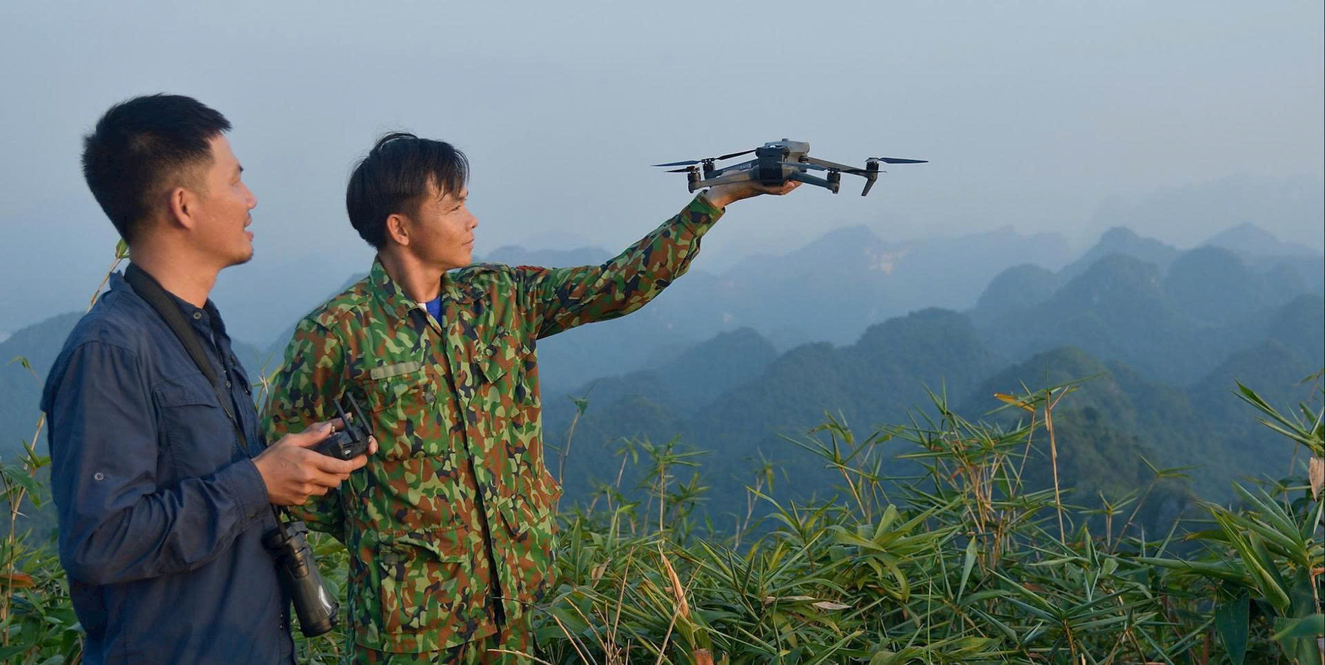
Eight years ago, the former Quang Nam Forest Protection Department pioneered the use of drones with RGB optical sensors for forest management, biodiversity conservation, and forest carbon assessment.
In 2024, Hoa Vang adopted similar drone systems for mountainous areas, now fully operational. The combination of RGB sensors and detailed ground-map data can ensure fairly precise carbon stock calculations.
Building on Quang Nam’s experience, Da Nang now applies the SMART (Spatial Monitoring and Reporting Tool) system to digitise patrol and protection data, automatically synchronising information from local forest units.
All updates on the city’s forest status are integrated into the national Forest Resource Monitoring System (FRMS), which issues fire and deforestation alerts to forest owners and local authorities for prompt action.
The department is also delineating commune-level forest boundaries and developing a SMART-based management model aligned with Da Nang’s two-tier governance system.
It has proposed building an intelligent forest protection and fire-prevention network, including 16 surveillance towers equipped with cameras to support Da Nang’s smart-city initiative.
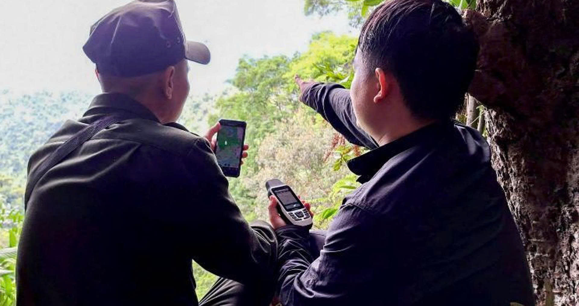
According to Assoc. Prof. Dr. Vo Van Minh, Rector of University of Science and Education, the University of Da Nang, technologies such as SMART, camera traps, drones, IoT (Internet of Things) sensors, GIS (Geographic Information System), AI (artificial intelligence), and big data have recently been increasingly applied in forest management and biodiversity conservation.
Collecting and sharing data in a timely manner will help make decisions faster and more accurately. It will also speed up the transition from manual to intelligent monitoring, which is an important step towards modern, technology-driven governance.